Data Science & Analysis
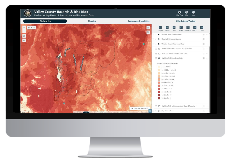
Location3x transforms overwhelming government data into clear insights that drive better decisions. Our data science expertise reveals patterns, predicts trends, and provides the statistical evidence leadership needs to make confident policy choices, optimize budgets, and demonstrate measurable improvements in citizen services.
- Infrastructure planning and asset management
- Public health and safety analysis
- Environmental monitoring and compliance
- Economic development and zoning
- Emergency preparedness and response
Technology Stack
- ArcGIS Pro with Spatial Statistics Toolbox – Advanced spatial analysis and geostatistical modeling
- Python with Pandas & NumPy – Data manipulation, cleaning, and numerical analysis
- R Programming & RStudio – Statistical modeling, regression analysis, and advanced analytics
- Scikit-learn & TensorFlow – Machine learning and predictive modeling
- Plotly & Matplotlib – Interactive visualizations and statistical graphics
- SQL & PostGIS – Database management and spatial database integration
- Jupyter Notebooks – Reproducible analysis and documentation
